Looking for aquifers and fresh water from space? Making sure there are no geological hazards before you tap for geothermal energy?
Several leading tech companies have developed extensive knowledge bases with the help of advanced seismic interpretation and mapping technologies. Interpreting and mapping key seismic regions help experts develop geological models of our planet’s subsurface conditions.
These techniques require expertise and experience with all types of seismic methods that cover every stage, from initial exploration to development and drilling. Seismically interpreted data is crucial for conducting a broad range of geological investigations such as regional mapping of stratigraphic facies, faults and fracture trends, and formations. The results of these activities determine the potential existence of oil/gas deposits, geothermal storehouses, and aquifers.
Insights derived from seismically interpreted data are the basis of understanding subsurface conditions, onshore and offshore. Companies such as Geophysical Insights are producing new AI or Machine Learning (ML) based tools that enable companies and governments to obtain greater insights from their seismic and well data.
Let’s look at some ways these studies and data help us with education, energy, and the overall benefit of life on earth.
Geological Infrastructure and Engineering
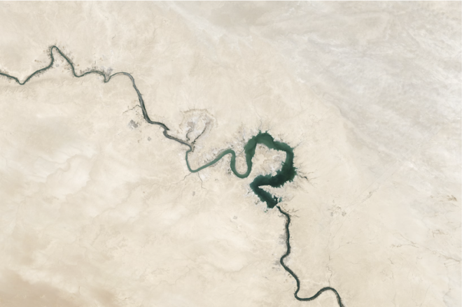
Engineering and geological applications like groundwater harvesting and geohazard forecasting require complex solutions that involve seismic, gravity, and ground radar data.
Scientists also use seismically interpreted data for hydro research, developing infrastructure for hydropower projects, and harvesting freshwater underground. They use seismic data obtained by conducting gravity surveys that record seismically interpreted magnetic data to locate subsurface freshwater resources.
Furthermore, seismic data also helps find fill-depths and research different types of subsurface particles properties. For example, radar technology used while seismic interpretations allow you to make shallow assessments of the seabed and underground rock bed thicknesses.
Mineral Research and Extraction
Mineral harvesting requires data that help figure out the precise location, quantities, and quality of mineral resources underground. Private contractors and often corporations use seismic data to produce reports that suggest the existence of these minerals. These complex data allow you to perform geological mapping that shows you potential mineral deposits in stipulated regions.
Experts need to distinguish and chart magnetic disruptions, faults, geological units, and alterations using seismically interpreted magnetic data. This will help experts and companies identify faulty regions and locate mineral deposits.
Another kind of data used to obtain the above-mentioned results comes under radiometric and gravity categories. They can further help geological experts with surficial material studies and general geological research of the respective region.
Oil and Natural Gas
Seismic data plays a key role in determining precise locations of potential oil traps that exist in the form of geological structures. The main factors that help record oil and gas data are seismic characteristic values and their resultant patterns.
They are also able to define underwater course stratigraphy. Here magnetic and gravitational data are used to deduce factors such as basin geometry that help locate huge geological structures that are home to oil and gas deposits and underground paths.
Carbon Capture and Storage
One of the ways of mitigating the contribution of greenhouse gases from oil and gas production is Carbon Capture and Storage (CCS), the permanent sequestration of greenhouse gases in underground formations. Underground formations suitable for CCS must meet several criteria, and seismic data is foundational to this process. Engineers and geoscientists are applying machine learning to determine the integrity of the storage reservoir, the physical properties of the region, and the presence of seismic faults, which affect storage formation quality.
Conclusion
So those are three different key areas where seismic interpretations and resultant data play important roles right from the beginning. Another aspect required to further these technological advancements is education derived and developed from current findings.
There are many data banks held by government agencies and several other tech companies that often share key data products to institutions for research and educational purposes. Depending upon these institutions’ infrastructure capabilities, they can avail data that are usable with or without specialized software and equipment. These can help learners practice and run simulations, helping them pioneer advanced techniques and technology of the future.
Such contributions will encourage the continuity of technological advancements that hold the promise of producing energy at a lower carbon footprint, while capturing and storing CO2.
