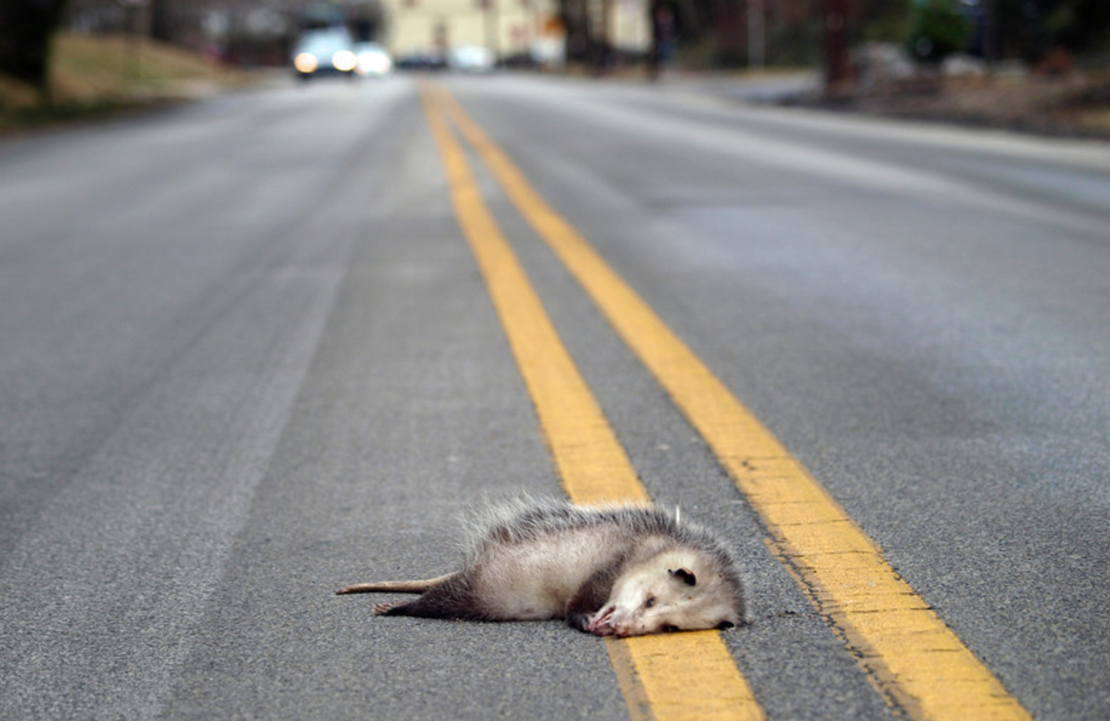
When hightech startups are created they are not usually done to create societal impact, but when they are willing can have a great impact in unforeseen ways. In an effort to reduce the staggering number of wild animals that are run over on Israel’s roads every year, The Society for the Protection of Nature in Israel (SPNI) joined forces with Waze towards the end of 2016 to encourage drivers to report roadkill incidents via the popular community-based traffic and navigation app.
Over the last six months, SPNI has compiled the data from more than 12,000 user-generated reports and utilized this information to develop a map detailing which Israeli roadways are most dangerous to the country’s wild animals.
After filtering out urban roads and streets that pass through built-up areas, SPNI has determined that Route 2, the coastal highway from Tel Aviv to Haifa, and Route 6, the trans-Israel highway, have the highest number of roadkill incidents with more than 700 reported sightings each. Some of this roadkill can include much loved pets, like cats and dogs.
“We are currently studying the data from several areas where unusually high levels of roadkill have been observed, and we are examining roads that cross authorized ecological corridors, such as Route number 70/75, east of the Carmel Mountain,” said Shmulik Yedvab, Director of SPNI’s Mammals Center.
“The information streaming in from Waze users is an invaluable resource throughout this process and it illustrates the severity of the problem of wildlife run-overs.”
Over the last several years, the increasing awareness regarding the difficulty and risks roads pose to wild animals led planners to build special passages for animals when constructing new roads or expanding and upgrading old roads, but there are still no solutions on many of the roads now determined to be Israel’s most dangerous for wildlife and escaped or homeless cats and dogs. It is for this reason that SPNI’s campaign with Waze continues to be so crucial for wildlife conservation.
“We call on the public to increase its cooperation with this project and provide SPNI with the additional data required to assist us in formulating the optimal action plan towards reducing roadkill and saving Israel’s wildlife,” added Yedvab.
The public can ensure the continued success of this important campaign by being vigilant about reporting roadkill and encouraging their friends to do the same. And of course by keeping pets like cats and dogs on a leash when out hiking. After clicking the circular orange report icon within the Waze app, users should select the yellow triangular “Hazard” symbol, followed by “On road” and “Roadkill.”
The accumulated data collected by SPNI thus far was presented for the first time at a session of the Knesset Science Committee on June 20, headed by MK Uri Maklev. Initiated by SPNI, the session focused on the subject of using technological tools and methods to assist nature preservation activities and safeguard the environment and Israeli nature.
Now keep animals everywhere safe!


One thought on “Waze saves wild lives”
Comments are closed.