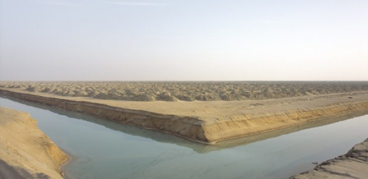
Google Earth reveals 10-year impact of 39 square mile desert mangrove project
The ‘historical imagery’ function on google earth is particularly helpful in tracking changes to landscapes since about the turn of the millennium when satellite imagery became commonly available.